The March Heat That Arrived Too Soon
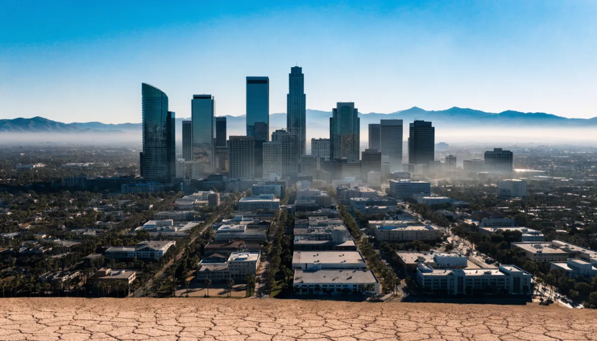
In Phoenix one recent March morning, the temperature pushed past 100 degrees before most people had finished their coffee. It was the earliest day on record for the city to hit that mark, edging out a threshold that had stood since 1988. A few hundred miles west, downtown Los Angeles reached 94, breaking a mark from 1997. Las Vegas hit 99, another March high. These were not isolated quirks. Across more than a hundred cities in at least ten states, daily records or near-records fell within a matter of days.
The numbers tell part of the story, but the timing tells more. March in the West is usually a month of tentative warmth mixed with late-season snow. This year the region entered the month after its warmest winter on record. Snowpack in Colorado sits at its lowest levels in decades. Reservoirs that feed the Colorado River are running low even before the usual spring drawdown begins. Then came the heat dome, a stubborn ridge of high pressure that has parked itself over the Southwest, blocking the normal flow of cooler Pacific air and wringing moisture out of the atmosphere.
What followed was less a sudden shock than a steady intensification. The heat began building around the middle of the month, with desert cities climbing into the 90s and low 100s. By the 18th and 19th it sharpened. Overnight lows stayed in the 60s and 70s, offering little relief. Extreme heat warnings went out for inland areas, and even the Bay Area saw its first March heat advisory. Forecasters expect the peak today and tomorrow, with some locations in California and Arizona threatening to set all-time March records above 105 or 110 degrees. The pattern is forecast to linger in weakened form into next week.
The practical effects are already visible. Fire officials have issued red-flag warnings in several states as vegetation dries out weeks ahead of schedule. Snow in the Sierra and the Rockies is melting rapidly, which might sound welcome in a drought-prone region until one considers the consequences: less water stored for summer, earlier runoff that can overwhelm streams before reservoirs are ready to capture it. Utility companies are bracing for spikes in power demand as air conditioners click on across a region still officially in spring. Public health departments have begun reminding residents that heat-related illness can arrive before the calendar says summer.
Scientists who study these events point out that while heat domes are natural, their strength and frequency are shifting. Attribution studies suggest climate change has made an event like this two to five times more likely than it would have been in a cooler world. The winter that preceded it was itself unusually warm, thinning the snowpack that usually buffers against early heat. One pattern reinforces the other. The result is a season that feels out of joint, as though the calendar has been quietly rewritten without most of us noticing.
What stays with me is not the prospect of a new record in some desert city, but the quiet accumulation of small dislocations. A fire season that arrives in April rather than June. A water year that effectively starts from behind. Families in Phoenix closing their windows in mid-March because the outside air is already too hot. These things do not arrive with fanfare. They slip in, one broken record at a time, until the exceptional begins to feel like the baseline. And then the next March arrives, and the question becomes whether anyone still remembers what the old normal felt like.